Welcome to the south side of the island downtown Songsong Village and Sasanhaya Bay.

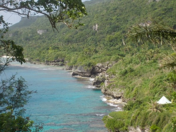
View from Japanese Cannon towards Gagani and Pona Point; Sasanhaya Bay below.

View northward of Sasanhaya Bay towards Songsong Village from Japanese cannon.

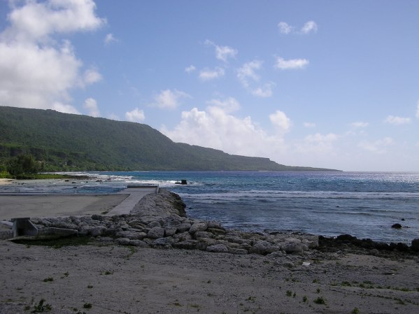
View of the bay from Sasanhaya gas station.
Looking northeast from the base on Mt. Taipingot (Wedding Cake Mountain) towards downtown Songsong village, the East Harbor and Sasanhaya Bay. The background mountain include areas known as Taimama, Ca’an and Isang.
View from the East Harbor. Pona Point in background and mountain regions include Gagani, Ca’an, Lempanai, Aplok, Isang and Sabana, its highest elevation.
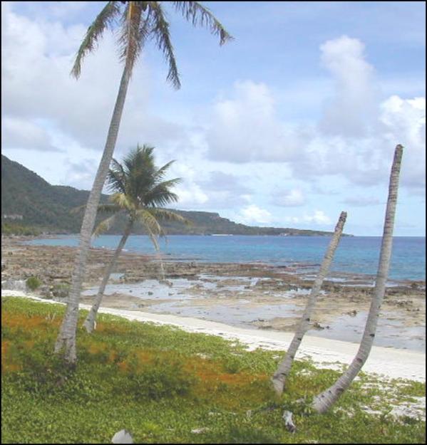
Sasanhaya Bay view and Pona Point from Teneto beach.
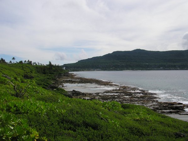
Sasanhaya Bay coastline, Ilig area.

